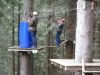
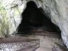
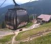
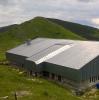
TOURIST MAP SERVER ATTRACTIONS OF SLOVAKIA.- are you fond of tourism, Slovakia's attractions?- interactive map offers pictures - map objects are inserted with GPS position data             
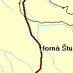                          |
TOURIST MAP SERVER ATTRACTIONS OF SLOVAKIA.- are you fond of tourism, Slovakia's attractions?- interactive map offers pictures - map objects are inserted with GPS position data
|
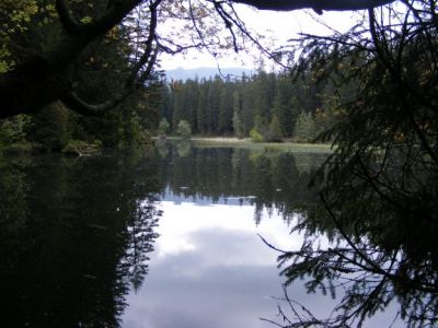
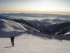
 Vrbicke mountain lake