

| Mapa turistických atrakcií | | | Vyhľadávanie atrakcií | | | Informácie o stránke |
Kráľova hoľa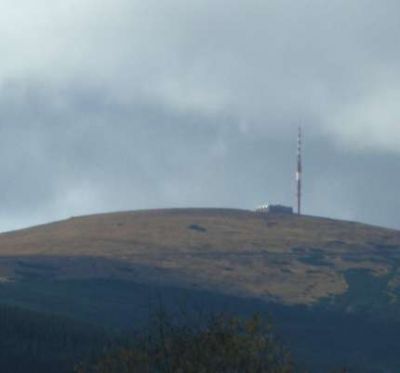
|
      Warning: file_exists() [function.file-exists]: open_basedir restriction in effect. File(../../obr-nove-250-jpg/obrazky81/52_66.jpg) is not within the allowed path(s): (/home/vv040500:/usr/share/pear) in /home/vv040500/www_root/body/zakladna_mapa250.php on line 112  Warning: file_exists() [function.file-exists]: open_basedir restriction in effect. File(../../obr-nove-250-jpg/obrazky81/53_66.jpg) is not within the allowed path(s): (/home/vv040500:/usr/share/pear) in /home/vv040500/www_root/body/zakladna_mapa250.php on line 125  Warning: file_exists() [function.file-exists]: open_basedir restriction in effect. File(../../obr-nove-250-jpg/obrazky81/54_66.jpg) is not within the allowed path(s): (/home/vv040500:/usr/share/pear) in /home/vv040500/www_root/body/zakladna_mapa250.php on line 138  Warning: file_exists() [function.file-exists]: open_basedir restriction in effect. File(../../obr-nove-250-jpg/obrazky81/52_65.jpg) is not within the allowed path(s): (/home/vv040500:/usr/share/pear) in /home/vv040500/www_root/body/zakladna_mapa250.php on line 151  Warning: file_exists() [function.file-exists]: open_basedir restriction in effect. File(../../obr-nove-250-jpg/obrazky81/53_65.jpg) is not within the allowed path(s): (/home/vv040500:/usr/share/pear) in /home/vv040500/www_root/body/zakladna_mapa250.php on line 164  Warning: file_exists() [function.file-exists]: open_basedir restriction in effect. File(../../obr-nove-250-jpg/obrazky81/54_65.jpg) is not within the allowed path(s): (/home/vv040500:/usr/share/pear) in /home/vv040500/www_root/body/zakladna_mapa250.php on line 177  Warning: file_exists() [function.file-exists]: open_basedir restriction in effect. File(../../obr-nove-250-jpg/obrazky81/52_64.jpg) is not within the allowed path(s): (/home/vv040500:/usr/share/pear) in /home/vv040500/www_root/body/zakladna_mapa250.php on line 190  Warning: file_exists() [function.file-exists]: open_basedir restriction in effect. File(../../obr-nove-250-jpg/obrazky81/53_64.jpg) is not within the allowed path(s): (/home/vv040500:/usr/share/pear) in /home/vv040500/www_root/body/zakladna_mapa250.php on line 203 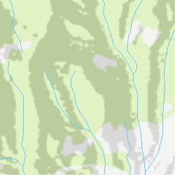 Warning: file_exists() [function.file-exists]: open_basedir restriction in effect. File(../../obr-nove-250-jpg/obrazky81/54_64.jpg) is not within the allowed path(s): (/home/vv040500:/usr/share/pear) in /home/vv040500/www_root/body/zakladna_mapa250.php on line 216 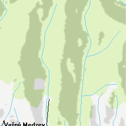 |
© 2007 Obsah www.mapysr.sk je chránený autorským zákonom (618/2003 Z.z.), pri použití informácií nezabudnite na citáciu odkazu.
